
Ishikawa Prefecture Weather Report Free 2025
Ishikawa,JP
3:02 pm,
Mar 16, 2026
few clouds
- Temperature
- Precipitation
- Rain Chance
- Wind
- Humidity
- Pressure
6:00 pm
19°/20°°C
0 mm
0%
7 mph
56%
1020 mb
0 mm/h
9:00 pm
18°/19°°C
0 mm
0%
8 mph
62%
1021 mb
0 mm/h
12:00 am
16°/16°°C
0 mm
0%
7 mph
69%
1021 mb
0 mm/h
3:00 am
16°/16°°C
0 mm
0%
4 mph
71%
1020 mb
0 mm/h
6:00 am
16°/16°°C
0 mm
0%
4 mph
73%
1020 mb
0 mm/h
9:00 am
19°/19°°C
0 mm
0%
3 mph
59%
1021 mb
0 mm/h
12:00 pm
19°/19°°C
0 mm
0%
1 mph
57%
1021 mb
0 mm/h
3:00 pm
19°/19°°C
0 mm
0%
3 mph
58%
1019 mb
0 mm/h
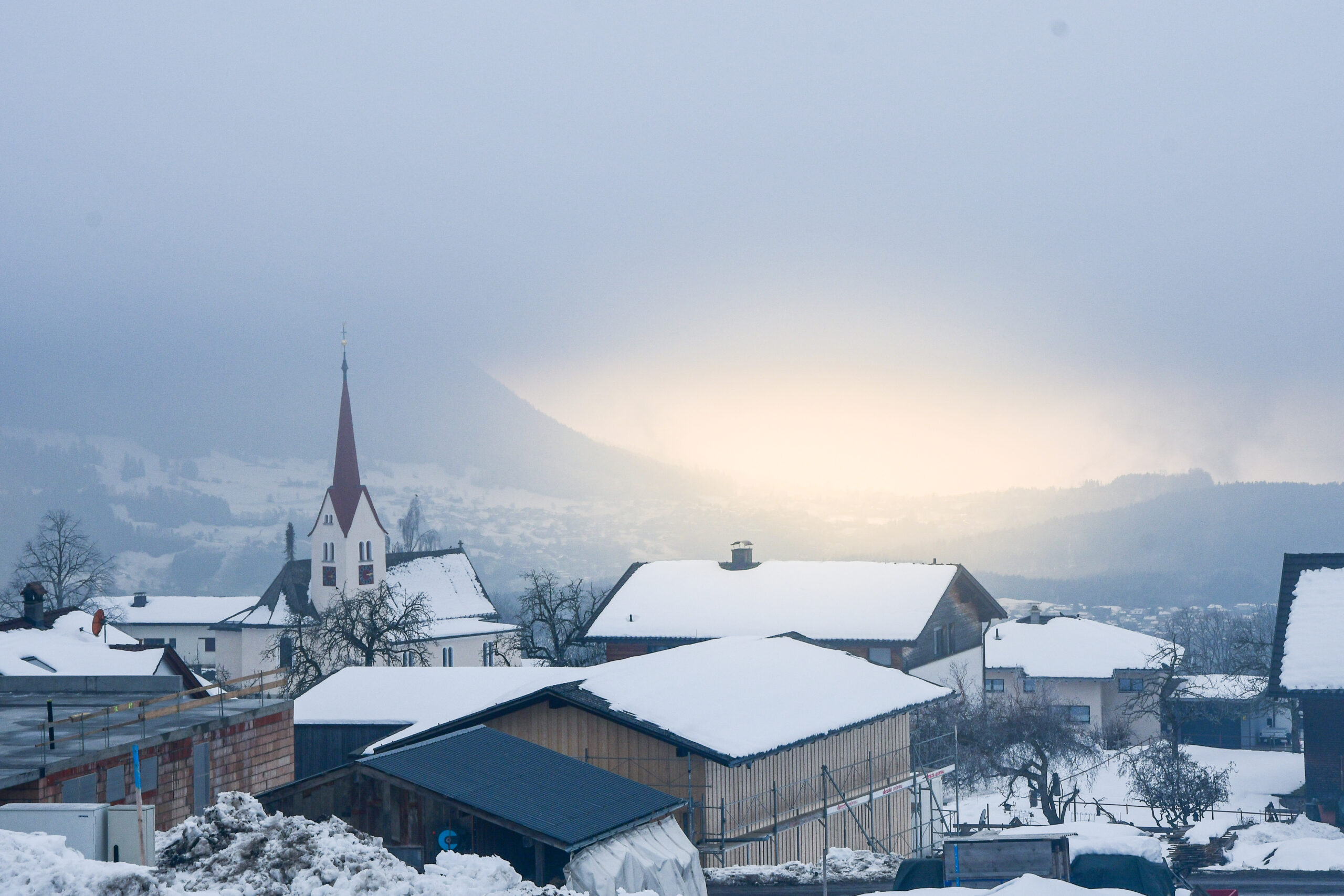
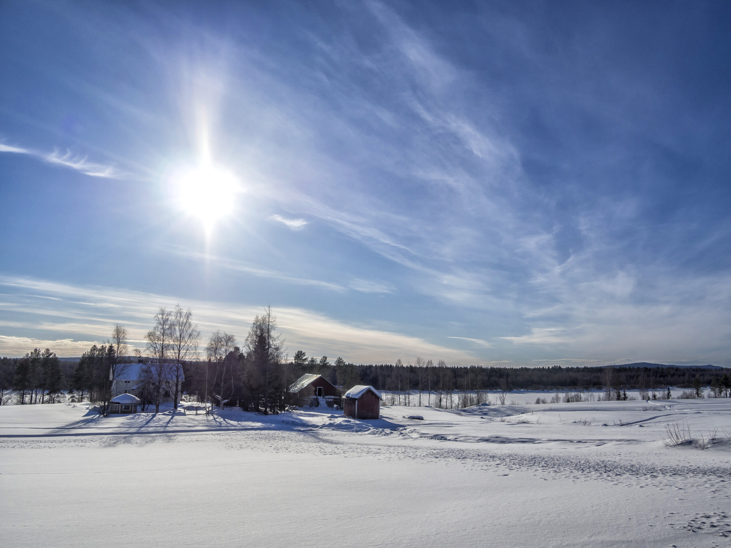
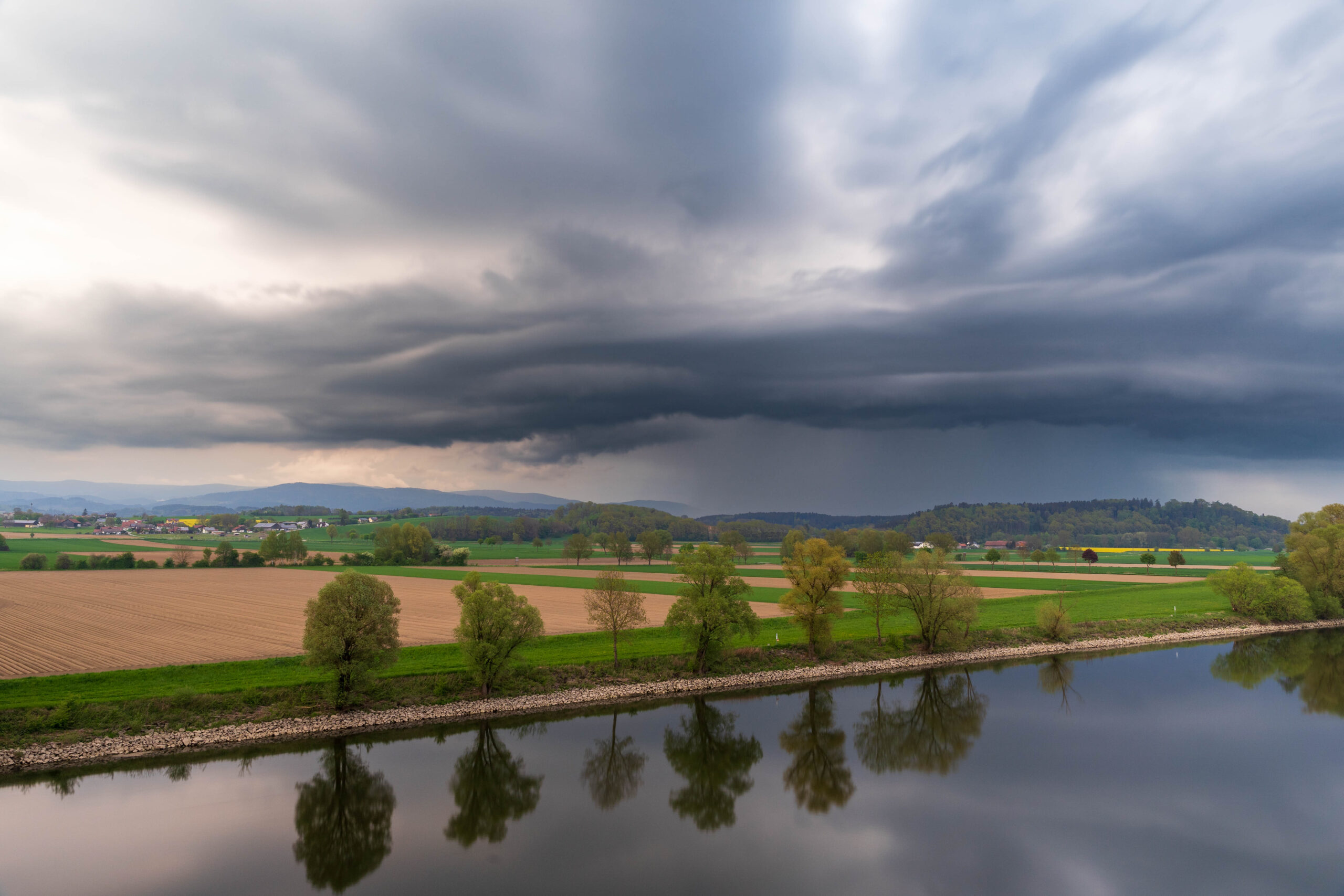
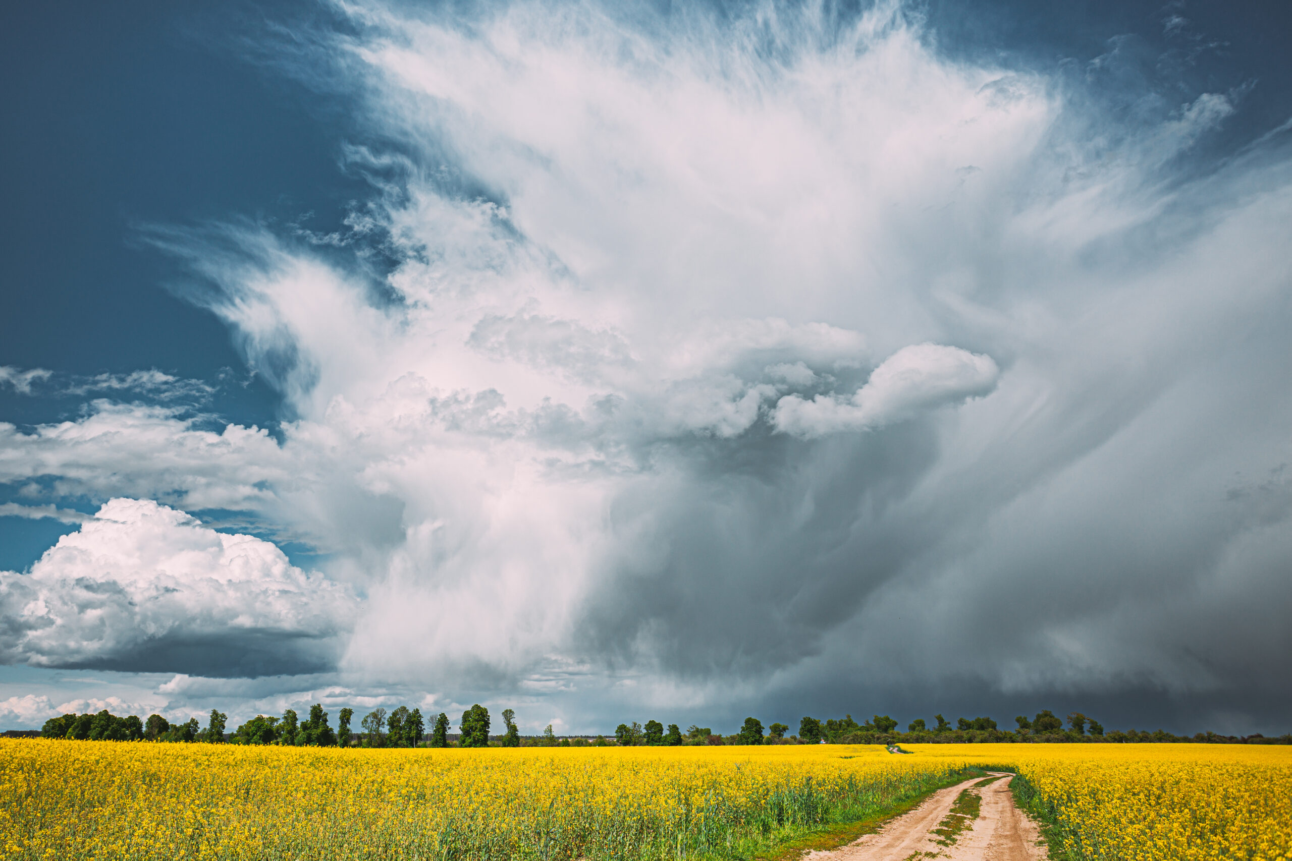
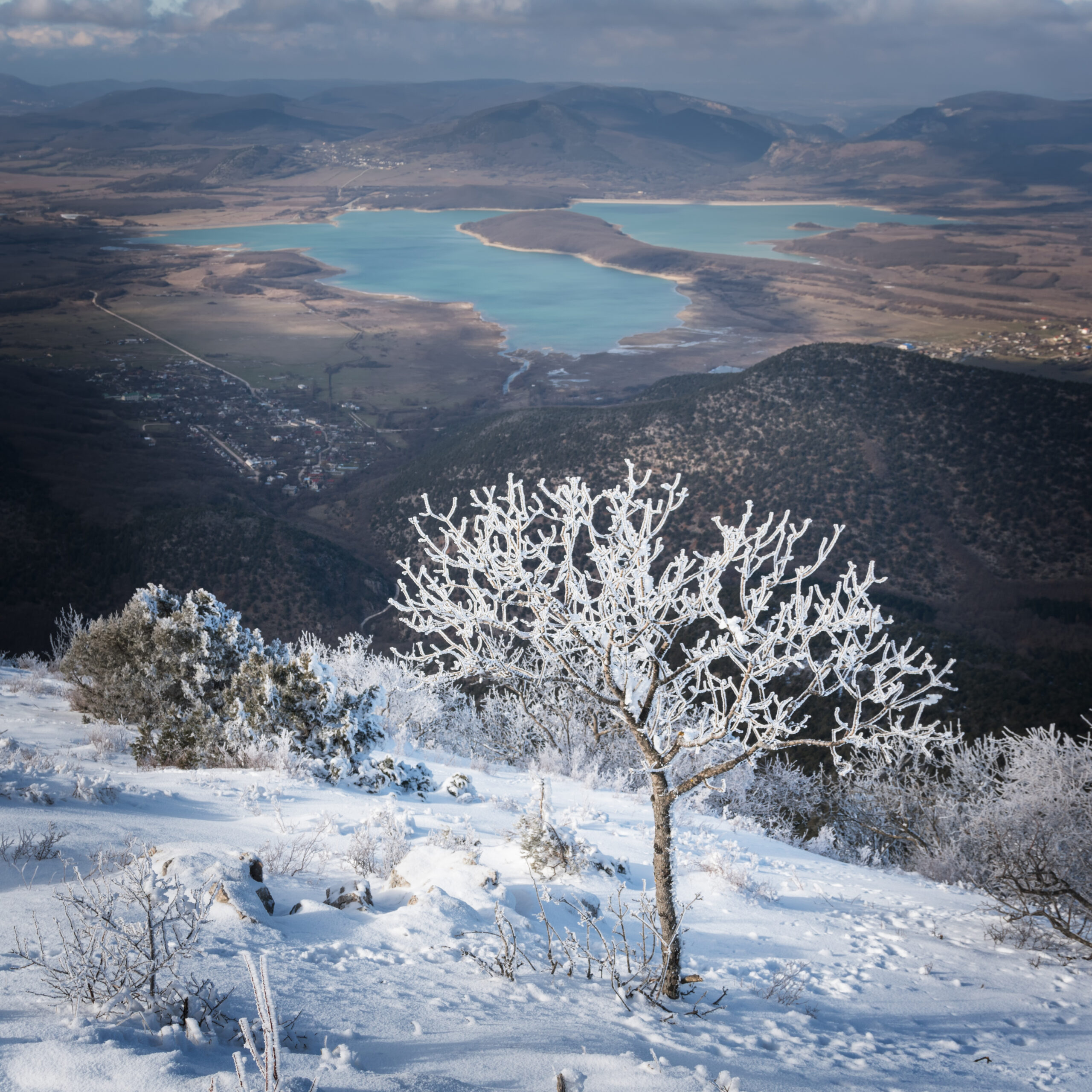
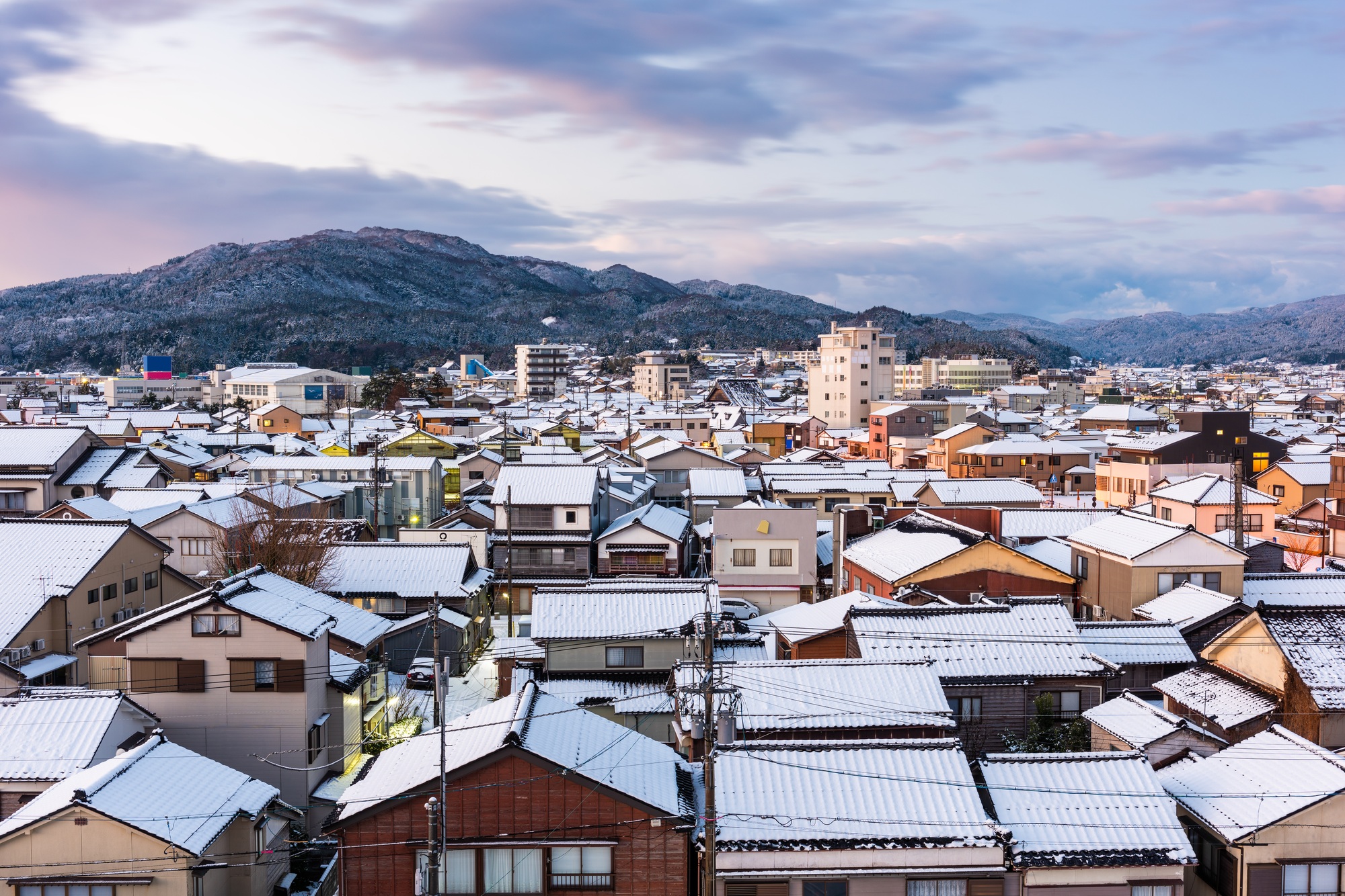
Weather in Ishikawa, Japan: A Month-by-Month AnalysisIshikawa Prefecture, located along the Sea of Japan on the island of Honshu, is known for its rich cultural heritage, including the historic city of Kanazawa and the scenic Noto Peninsula. Its climate, classified as a humid continental climate with warm summers (Dfb), exhibits distinct seasonal variations influenced by its coastal and mountainous geography. This report provides a detailed month-by-month analysis of Ishikawa’s weather, including temperature, precipitation, snowfall, humidity, wind, and cloud cover, based on data from sources such as weather-and-climate.com, weatherspark.com, and metar-taf.com. The data reflects averages from recent years (2020–2024) and historical trends (1992–2021), offering insights for travelers, residents, and planners.JanuaryJanuary is Ishikawa’s coldest month, with average daytime temperatures around 3.9°C (39°F) and nighttime lows dipping to -1.8°C (29°F). The region experiences significant snowfall, averaging 5.6 inches over a 31-day period, with January being the snowiest month, accumulating up to 80 cm in some areas. Precipitation is frequent, with about 19.8 rainy or snowy days and a 49.5% chance of precipitation, often as snow or mixed snow and rain. Cloud cover is moderate, with skies clear or partly cloudy 66% of the time. Winds average 11.3 km/h, predominantly from the west or northwest, contributing to a chilly, wintry atmosphere. January’s cold and snowy conditions make it ideal for winter sports in areas like Hakusan National Park, but travelers should prepare for cold temperatures and potential snow-related disruptions. 

 FebruaryFebruary remains cold, with average highs of 5.7°C (42.2°F) and lows around 1.5°C (34.8°F). Snowfall continues, averaging 5.6 inches, though slightly less than January. Precipitation occurs on about 14.6 days, with a 43.3% chance of rain, snow, or mixed precipitation. Humidity averages 75.9%, and cloud cover increases, with only 61% of the time featuring clear or partly cloudy skies. Winds pick up slightly to 13.2 km/h, often from the west. February’s weather is similar to January’s, with cold, snowy days dominating. Visitors should bundle up and expect occasional snowstorms, though the shorter month may feel slightly less harsh.
  MarchMarch marks the transition to spring, with average highs rising to 9.1°C (48.4°F) and lows around 4.4°C (39.9°F). Snowfall decreases significantly to 3.3 inches, and precipitation shifts toward rain, with 13.6 rainy days and a 19.3% chance of precipitation. Rainfall averages 95.5 mm (3.76 inches). Cloud cover peaks, with skies overcast or mostly cloudy 47% of the time. Winds are stronger, averaging 14.8 km/h, often from the southwest. March offers milder temperatures, making it suitable for early spring activities like visiting Kenrokuen Garden, though an umbrella is advisable due to frequent rain. AprilApril brings warmer weather, with average highs of 13.7°C (56.7°F) and lows of 8.4°C (47.2°F). Snowfall is minimal, at 0.7 inches, and precipitation, primarily rain, occurs on 12.6 days with 90.2 mm (3.55 inches) of rainfall. Cloud cover decreases slightly, with 47% clear or partly cloudy skies. Winds remain steady at 15.6 km/h, often from the southwest. April’s pleasant temperatures and blooming cherry blossoms make it a popular time for tourism, though rain gear is essential for outdoor exploration. MayMay is comfortably warm, with average highs of 19.2°C (66.5°F) and lows of 13.4°C (56.1°F). Precipitation is at its lowest, with 64.4 mm (2.54 inches) of rain over 9 days, making May the driest month. Cloud cover is significant, with skies overcast or mostly cloudy 58% of the time. Winds ease to 14.0 km/h, typically from the southwest. May’s mild weather and low rainfall make it an excellent time for outdoor activities, such as hiking in Hakusan National Park or exploring Kanazawa’s cultural sites. JuneJune ushers in early summer, with average highs of 22.7°C (72.9°F) and lows of 17.5°C (63.6°F). Rainfall increases to 107.8 mm (4.24 inches) over 10.6 days, with a 14.7% chance of precipitation. Cloud cover peaks, with skies overcast or mostly cloudy 66% of the time, marking June as the cloudiest month. Winds drop to 11.6 km/h, primarily from the southwest. Humidity rises to 78.5%, creating a muggy feel. June’s warm, wet weather is ideal for lush greenery but requires preparation for rain and humidity. JulyJuly is warm and wet, with average highs of 26.7°C (80.0°F) and lows of 22.1°C (71.8°F). It is the wettest month, with 168.9 mm (6.65 inches) of rainfall over 16.2 days and a 17.6% chance of precipitation. Cloud cover remains high at 66% overcast or mostly cloudy. Winds are lighter at 11.0 km/h, often from the southwest. Humidity peaks at 81.8%, making July feel muggy. The warm, rainy conditions are suitable for indoor attractions like Kanazawa Castle, but outdoor plans should account for frequent showers. AugustAugust is the warmest month, with average highs of 28.7°C (83.7°F) and lows of 24.0°C (75.2°F). Rainfall decreases slightly to 115.9 mm (4.56 inches) over 12.6 days, with a 14.6% chance of precipitation. Cloud cover reduces to 58% overcast or mostly cloudy, and humidity remains high at 77.9%. Winds average 11.4 km/h, often from the southwest or west. Recent posts on X noted extreme heat in 2025, with temperatures in nearby regions reaching 41.8°C (107°F), suggesting August can be exceptionally hot. Light clothing, sunscreen, and hydration are essential for outdoor activities. SeptemberSeptember sees cooling temperatures, with average highs of 25.0°C (77.0°F) and lows of 20.4°C (68.8°F). Rainfall peaks at 132.4 mm (5.21 inches) over 12.6 days, with a 16.2% chance of precipitation. Cloud cover is high at 57% overcast or mostly cloudy. Winds remain steady at 10.8 km/h, often from the northeast or east. Humidity is 76.2%, maintaining a muggy feel. September’s warm, wet weather is ideal for early autumn visits, though rain gear is necessary. OctoberOctober brings cooler, comfortable weather, with average highs of 19.5°C (67.2°F) and lows of 15.0°C (59.0°F). Rainfall decreases to 102.3 mm (4.03 inches) over 10.6 days, with a 14.6% chance of precipitation. Cloud cover reduces, with 55% clear or partly cloudy skies. Winds average 10.9 km/h, often from the north or northwest. October’s pleasant conditions make it one of the best times to visit for outdoor activities and autumn foliage. NovemberNovember is cooler, with average highs of 14.0°C (57.2°F) and lows of 9.8°C (49.6°F). Precipitation increases to 87.7 mm (3.45 inches) over 13.7 days, with a 23.9% chance of precipitation. Cloud cover decreases, with 63% clear or partly cloudy skies. Winds average 11.7 km/h, often from the southwest. November’s crisp weather is suitable for cultural exploration, with light layers recommended. DecemberDecember is cold, with average highs of 8.2°C (46.8°F) and lows of 4.7°C (40.4°F). Precipitation is high, with 139.8 mm (5.5 inches) over 21.6 days, and a 50.0% chance of precipitation, the highest of the year. Snowfall resumes, averaging 1.7 inches. Cloud cover is low, with 68% clear or partly cloudy skies, making December the clearest month. Winds average 11.2 km/h, often from the west. December’s cold, wet, and snowy conditions require warm clothing and preparation for winter weather. ConclusionIshikawa’s climate varies dramatically across the year, from snowy winters to warm, muggy summers and rainy transitional seasons. January and February are cold and snowy, ideal for winter activities, while May and October offer mild, pleasant conditions for tourism. July and September are the wettest months, and August is the hottest, requiring precautions for heat and humidity. December brings heavy precipitation and the return of snow. Travelers should plan according to their preferences for weather and activities, with appropriate clothing and gear for Ishikawa’s diverse conditions.
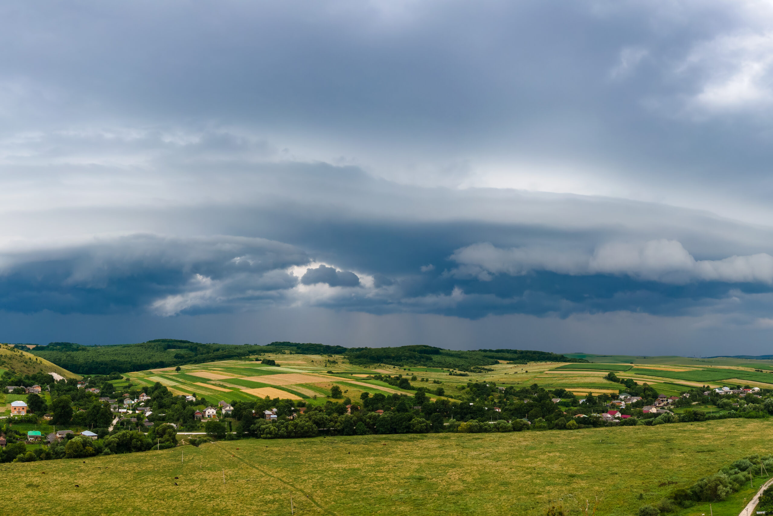